What we do

Mission Planning & Flight
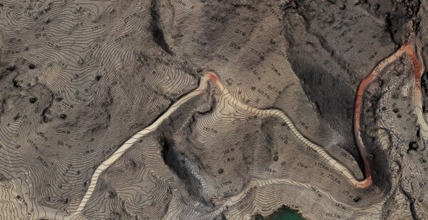
Drone surveying technology allows us to capture highly accurate and detailed data in a fraction of the time it takes using traditional survey methods. Our drones are equipped with high-resolution cameras, LIDAR, and other cutting-edge sensors, which enable us to capture high-quality images, point clouds, and other data types..
Data Processing
Using specialized software, we then process the data to create detailed maps, models, and measurements. These can be used to create 3D models of the site, calculate volumes, and identify areas of interest for further investigation.

Data Analysis
Drone survey services are ideal for a wide range of applications, including construction, mining, agriculture, and environmental monitoring. We can quickly and easily survey large areas of land, capture hard-to-reach places, and identify potential hazards or issues that may not be visible from the ground.

Reporting
At the end of the survey, we provide our clients with detailed reports and deliverables that can be easily integrated into their workflows. We take pride in our ability to provide high-quality, accurate, and timely data to our clients, helping them to make informed decisions and achieve their goals.
And more...
- Cost-effective
- Time-efficient
- Improved accuracy
- Improved safety
- Environmentally friendly
- Versatile